- التسوق ، اصبح سهلا.
- /
- احصل على التطبيق!

Unique, color banded, this political LARGE PRINT map of WEST VIRGINIA state features geographic detail and accuracy. The map shows all county boundaries, county names with their capitals. Perfect for Schools, Home, Office or Home Schooling. LARGE PRINT for easy reading. Selection of cities, parks, monuments, roads. Size 26"W x 24"H inches paper. MADE in USA / PRINTED in USA 2025 - original cartographic work.
 خريطة أمريكا الشمالية HISTORIX 2021 - خريطة جدار أمريكا الشمالية مقاس 18 × 24 بوصة - خريطة أمريكا الشمالية - خريطة حائط أمريكا الشمالية - ملصق خريطة أمريكا الشمالية
SAR 209
خريطة أمريكا الشمالية HISTORIX 2021 - خريطة جدار أمريكا الشمالية مقاس 18 × 24 بوصة - خريطة أمريكا الشمالية - خريطة حائط أمريكا الشمالية - ملصق خريطة أمريكا الشمالية
SAR 209
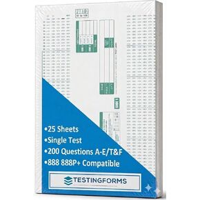 نماذج اختبار متوافقة مع TEST-100E 882 E (عبوة من 500 ورقة)
SAR 48
نماذج اختبار متوافقة مع TEST-100E 882 E (عبوة من 500 ورقة)
SAR 48
 200 بطاقة أسئلة مسيحية للمحادثات الملهمة - استكشف إيمانك واستمتع بليلة الألعاب العائلية أو دراسة الكتاب المقدس أو مجموعات الشباب - هدايا دينية مثالية للأزواج للنساء والرجال
SAR 157
200 بطاقة أسئلة مسيحية للمحادثات الملهمة - استكشف إيمانك واستمتع بليلة الألعاب العائلية أو دراسة الكتاب المقدس أو مجموعات الشباب - هدايا دينية مثالية للأزواج للنساء والرجال
SAR 157
 -35%
عرض الموارد التعليمية للمواد الصلبة الهندسية، مساعد الهندسة، 14 قطعة، للأعمار من 8 سنوات فما فوق
SAR 68
-35%
عرض الموارد التعليمية للمواد الصلبة الهندسية، مساعد الهندسة، 14 قطعة، للأعمار من 8 سنوات فما فوق
SAR 68