- التسوق ، اصبح سهلا.
- /
- احصل على التطبيق!
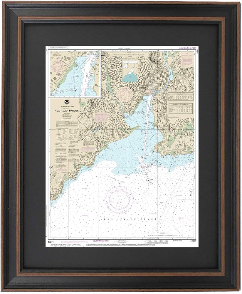
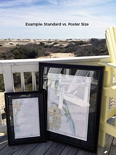
North Shore of Long Island Sound; New Haven Harbor NOAA 12370. This Framed Nautical Map covers the waters and coast line of the North Shore of Long Island Sound; New Haven Harbor. The Framed Nautical Chart is the official NOAA Nautical Chart detailing the waters of the beautiful Long Island Sound; including New Haven, West Haven, Fair Haven, and Morris Cove. NOAA Nautical Chart 12370. Standard frame is approx 18" W x 24" H. Poster frame is approx 28" W x 36" H. Solid Hardwood Frame, Glass Front, Black Mat, Paper Duster Backing with Wire Hanging, Handmade in USA.
 مجلدات ملفات زخرفية تحفيزية من كارسون ديلوسا - 11.75 بوصة × 9.5 بوصة نجوم ذهبية، مجلدات ملفات سوداء لخزانة الملفات، أو منظمة ملفات المكتب أو الفصل الدراسي (6 عبوات)
SAR 29
مجلدات ملفات زخرفية تحفيزية من كارسون ديلوسا - 11.75 بوصة × 9.5 بوصة نجوم ذهبية، مجلدات ملفات سوداء لخزانة الملفات، أو منظمة ملفات المكتب أو الفصل الدراسي (6 عبوات)
SAR 29
 قفازات XXDingbs قطعتين للسيدات بطول 60.96 سم من المخمل مع إكسسوارات لؤلؤية لحفلات الزفاف وحفلات العشاء 1920s
SAR 68
قفازات XXDingbs قطعتين للسيدات بطول 60.96 سم من المخمل مع إكسسوارات لؤلؤية لحفلات الزفاف وحفلات العشاء 1920s
SAR 68
 حقائب كروس صغيرة مبطنة للنساء حقيبة كتف وحقائب يد وحقائب يد مع سلسلة ذهبية
SAR 120
حقائب كروس صغيرة مبطنة للنساء حقيبة كتف وحقائب يد وحقائب يد مع سلسلة ذهبية
SAR 120
 Snarky Cross-Stitch Kit
SAR 90
Snarky Cross-Stitch Kit
SAR 90