- التسوق ، اصبح سهلا.
- /
- احصل على التطبيق!
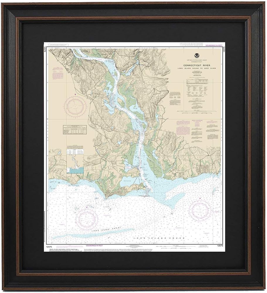
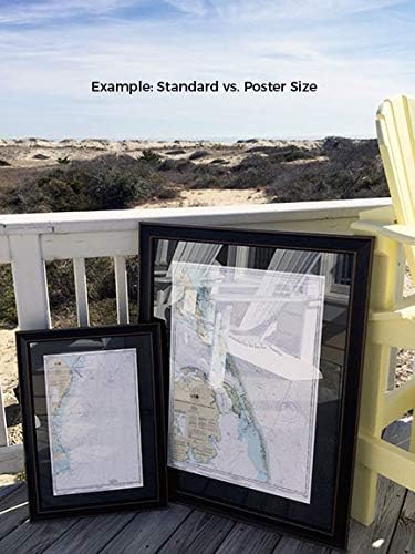
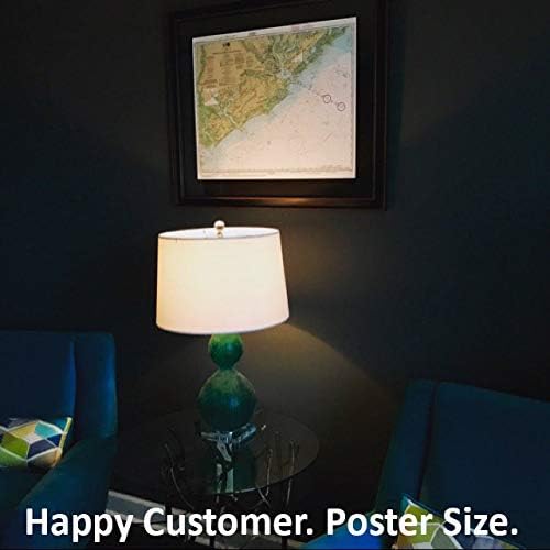
Connecticut River: Long Island Sound to Deep River NOAA 12375. This Framed Nautical Map covers the waters and coast line of the Connecticut River; Long Island Sound to Deep River. The Framed Nautical Chart is the official NOAA Nautical Chart detailing the waters of the beautiful Connecticut River; including Deep River, Essex, and Old Saybrook. NOAA Nautical Chart 12375. Standard Frame is approx 20" W x 24" H. Poster frame is approx 30" W. x 36" H. Solid Hardwood Frame, Glass Front, Black Mat, Paper Duster Backing with Wire Hanging, Handmade in USA.
 6 قطع من مجموعات روب كيمونو للفتيات من الساتان الحريري لأعياد الميلاد وحفلات الزفاف وحفلات الزفاف وأردية قصيرة
SAR 100
6 قطع من مجموعات روب كيمونو للفتيات من الساتان الحريري لأعياد الميلاد وحفلات الزفاف وحفلات الزفاف وأردية قصيرة
SAR 100
 -13%
صخور مود بودج!: Decoupage عالمك
SAR 65
-13%
صخور مود بودج!: Decoupage عالمك
SAR 65
 ورق تغليف عيد الميلاد جامبو رول، ورق مطلي - تغليف العطلات - بابا نويل - 30 بوصة × 10 أقدام لفة متواصلة
SAR 85
ورق تغليف عيد الميلاد جامبو رول، ورق مطلي - تغليف العطلات - بابا نويل - 30 بوصة × 10 أقدام لفة متواصلة
SAR 85
 تطريز خزانة الملابس: مشاريع الحياكة والتطريز لإعادة تدوير الملابس
SAR 75
تطريز خزانة الملابس: مشاريع الحياكة والتطريز لإعادة تدوير الملابس
SAR 75