- Shopping, made easy.
- /
- Get the app!
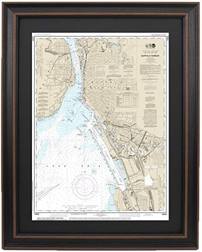
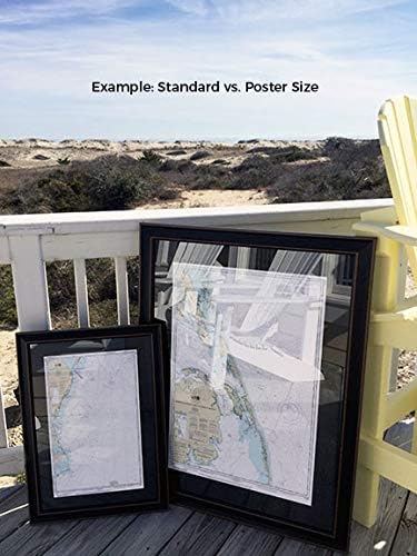
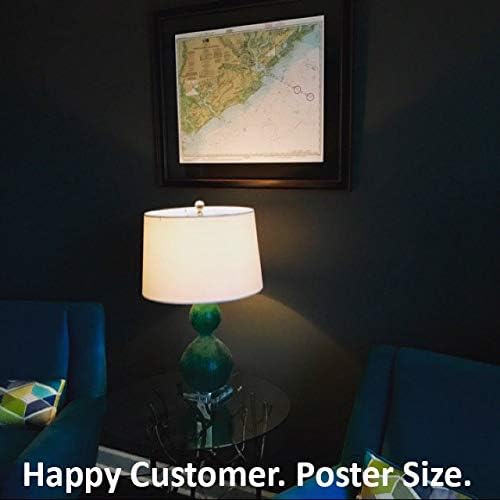
Buffalo Harbor, NY NOAA 14833. This Framed Nautical Map covers the waters of Buffalo Harbor, NY. The Framed Nautical Chart is the official NOAA Nautical Chart 14833 detailing these beautiful waters. NOAA Nautical Chart 14833. Standard frame is approx 18" W x 24" H. Poster frame is approx 28" W x 36" H. Solid Hardwood Frame, Glass Front, Black Mat, Paper Duster Backing with Wire Hanging, Handmade in USA.