- Shopping, made easy.
- /
- Get the app!
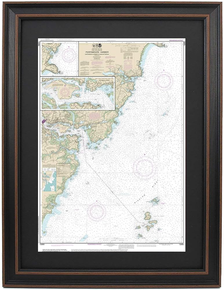
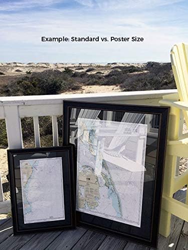
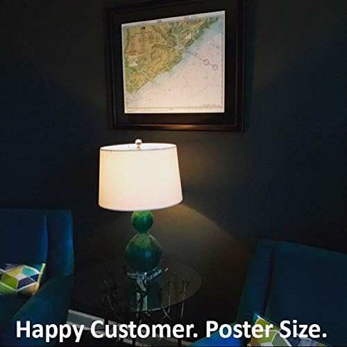
Portsmouth Harbor, Cape Neddick Harbor to Isles of Shoals NOAA 13283. This Framed Nautical Map covers the waters of Portsmouth Harbor, Cape Neddick Harbor to Isles of Shoals. The Framed Nautical Chart is the official NOAA Nautical Chart detailing the beautiful waters and coastline of Portsmouth Harbor; including the York Riiver, Gerrish Island, New Castle Island, Seavey Island as well as many other towns and harbors. NOAA Nautical Chart 13283. Standard frame is approx 17" W x 24" H. Poster frame is approx 26" W x 36" H. Solid Hardwood Frame, Glass Front, Black Mat, Paper Duster Backing with Wire Hanging, Handmade in USA