- التسوق ، اصبح سهلا.
- /
- احصل على التطبيق!
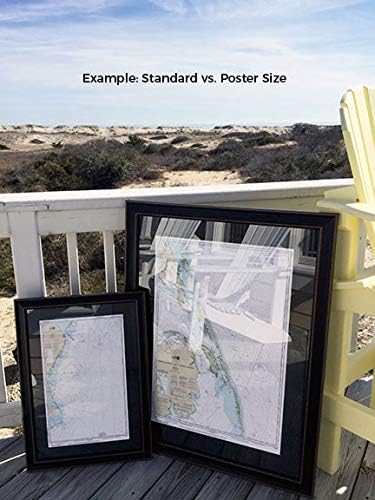
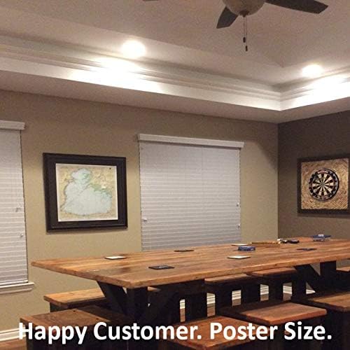
Erie Harbor, Lake Erie, PA NOAA 14835. This Framed Nautical Map covers the waters of Erie Harbor, Lake Erie, PA; The Framed Nautical Chart is the official NOAA Nautical Chart detailing these beautiful waters. NOAA Nautical Chart 14835. Standard frame is approx 24" W x 22" H. Poster frame is approx 36" W x 33" H. Solid Hardwood Frame, Glass Front, Black Mat, Paper Duster Backing with Wire Hanging, Handmade in USA.
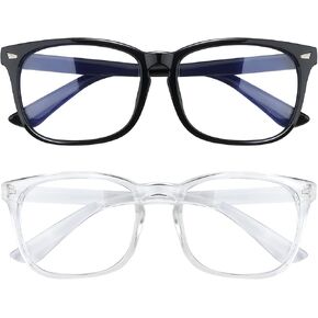 عبوتان، نظارات الضوء الأزرق للنساء، نظارات الضوء الأزرق، نظارات الضوء الأزرق للرجال، نظارات الضوء الأزرق للنساء، نظارات الكمبيوتر
SAR 35
عبوتان، نظارات الضوء الأزرق للنساء، نظارات الضوء الأزرق، نظارات الضوء الأزرق للرجال، نظارات الضوء الأزرق للنساء، نظارات الكمبيوتر
SAR 35
 WICKED | مجموعة "Like a Handprint on My Heart" | 4 صفحات تلوين فردية بواسطة Coloring Broadway | رسوم توضيحية مرسومة باليد - مطبوعة على ورق غير لامع (8.59 بوصة × 11 بوصة) - مجموعة من 4
SAR 55
WICKED | مجموعة "Like a Handprint on My Heart" | 4 صفحات تلوين فردية بواسطة Coloring Broadway | رسوم توضيحية مرسومة باليد - مطبوعة على ورق غير لامع (8.59 بوصة × 11 بوصة) - مجموعة من 4
SAR 55
 ملابس لحديثي الولادة للتصوير الفوتوغرافي للأطفال الأولاد صورة تبادل لاطلاق النار من الكروشيه الدعائم زي مجموعة متماسكة قبعة السراويل
SAR 75
ملابس لحديثي الولادة للتصوير الفوتوغرافي للأطفال الأولاد صورة تبادل لاطلاق النار من الكروشيه الدعائم زي مجموعة متماسكة قبعة السراويل
SAR 75
 معطف من صوف Ruana Irish Ruana مصنوع في أيرلندا 85% من صوف الخراف مزيج كاب 54" x 72" صنع في أيرلندا
SAR 647
معطف من صوف Ruana Irish Ruana مصنوع في أيرلندا 85% من صوف الخراف مزيج كاب 54" x 72" صنع في أيرلندا
SAR 647