خريطة بحرية مؤطرة 13209: بلوك آيلاند ساوند إلى خليج غاردينر. مصنوعة يدويا في الولايات المتحدة
SAR1,492
وصف
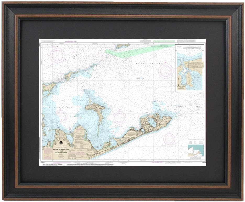
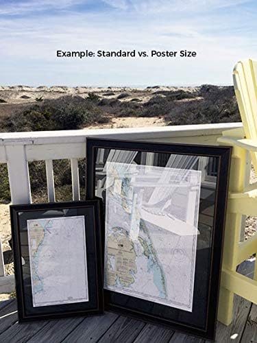
Block Island Sound to Gardiner Bay NOAA 13209. This Framed Nautical Map covers Block Island Sound to Gardiner Bay. The Framed Nautical Chart is the official NOAA Nautical Chart 13209, detailing this beautiful area of coastal Long Island, Block Island Sound, Gardiner Bay, and Montauk coast. Standard Frame is approx 24" W x 19" H. Poster frame is approx 36" W x 29" H. Solid Hardwood Frame, Glass Front, Black Mat, Paper Duster Backing with Wire Hanging, Handmade in USA