- Shopping, made easy.
- /
- Get the app!
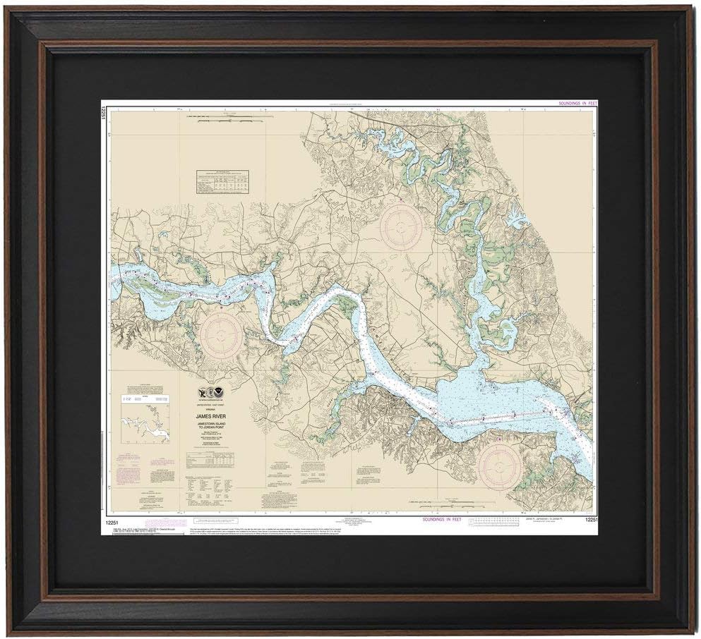
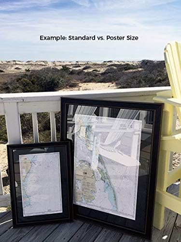
James River, Virginia; Jamestown Island to Jordon Point NOAA 12251. This Framed Nautical Map covers the waters of the James River, Virginia from Jamestown Island to Jordan Point, VA. The Framed Nautical Chart is the official NOAA Nautical Chart detailing the waterways of the James River, Chickahominy Lake and Chickahominy River and surrounding land including the town of Claremont. NOAA Nautical Chart 12254. Standard frame is approx 24" W x 20 H. Poster frame is approx 36" W x 30" H. Solid Hardwood Frame, Glass Front, Black Mat, Paper Duster Backing with Wire Hanging, Handmade in USA.
 Doll face, princess face Flexible Silicone Molds Kawaii Polymer Clay Resin doll Chocolate mold Fondant NC035
SAR 68
Doll face, princess face Flexible Silicone Molds Kawaii Polymer Clay Resin doll Chocolate mold Fondant NC035
SAR 68
 -8%
Animals (Eye Like Stickers)
SAR 34
-8%
Animals (Eye Like Stickers)
SAR 34
 Nancy Zieman's Confident Sewing Collection: Sew, Serge and Fit With Confidence
SAR 178
Nancy Zieman's Confident Sewing Collection: Sew, Serge and Fit With Confidence
SAR 178
 -17%
Spruce: A Step-by-Step Guide to Upholstery and Design
SAR 151
-17%
Spruce: A Step-by-Step Guide to Upholstery and Design
SAR 151