- التسوق ، اصبح سهلا.
- /
- احصل على التطبيق!
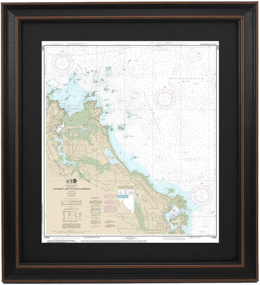
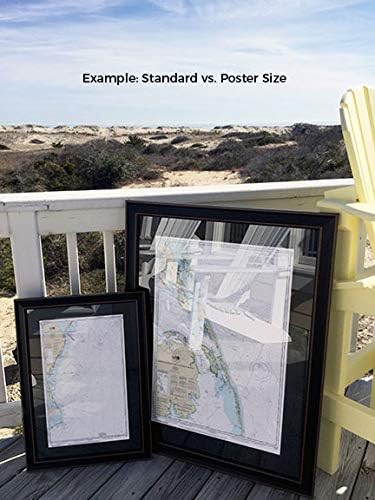
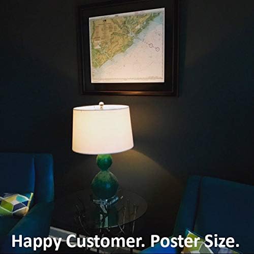
Cohasset and Scituate Harbors, MA NOAA 13269. This Framed Nautical Map covers the waters of Cohasset and Scituate Harbors, MA. The Framed Nautical Chart is the official NOAA Nautical Chart detailing the beautiful waters and coastline of Cohasset and Scituate Harbors; including Massachusetts Bay, and other towns and harbors. NOAA Nautical Chart 13269. Standard frame is approx 20" W x 24" H. Poster frame is approx 30" W x 36" H. Solid Hardwood Frame, Glass Front, Black Mat, Paper Duster Backing with Wire Hanging, Handmade in USA.
 -41%
قم بالغناء: كتاب الأغاني الغنائي الجماعي: (طبعة أكبر لزعيم الطباعة)
SAR 124
-41%
قم بالغناء: كتاب الأغاني الغنائي الجماعي: (طبعة أكبر لزعيم الطباعة)
SAR 124
 -7%
غرزة متقاطعة غريبة الأطوار: أكثر من 130 تصميمًا من العصرية إلى التقليدية (حرف دوفر: التطريز والإبرة)
SAR 98
-7%
غرزة متقاطعة غريبة الأطوار: أكثر من 130 تصميمًا من العصرية إلى التقليدية (حرف دوفر: التطريز والإبرة)
SAR 98
 -18%
ورشة عمل مجوهرات Chain Maille: تقنيات ومشاريع النسيج بالأسلاك
SAR 111
-18%
ورشة عمل مجوهرات Chain Maille: تقنيات ومشاريع النسيج بالأسلاك
SAR 111
 -57%
Tony Northrup's DSLR Book: How to Create Stunning Digital Photography
SAR 56
-57%
Tony Northrup's DSLR Book: How to Create Stunning Digital Photography
SAR 56