Printed on PaperTyger, a lightweight, tear-resistant, water-resistant paper with a smooth matte paper feel.
Printed on demand using the most up to date NOAA data and latest Notice to Mariners (NTMs) applied at time of print.
Meets United States Coast Guard carriage requirements.
Pre-production finishing for superior quality.
Printed by East View Geospatial. Map scale: 1:15,000. Map size (inches): 93 x 72.
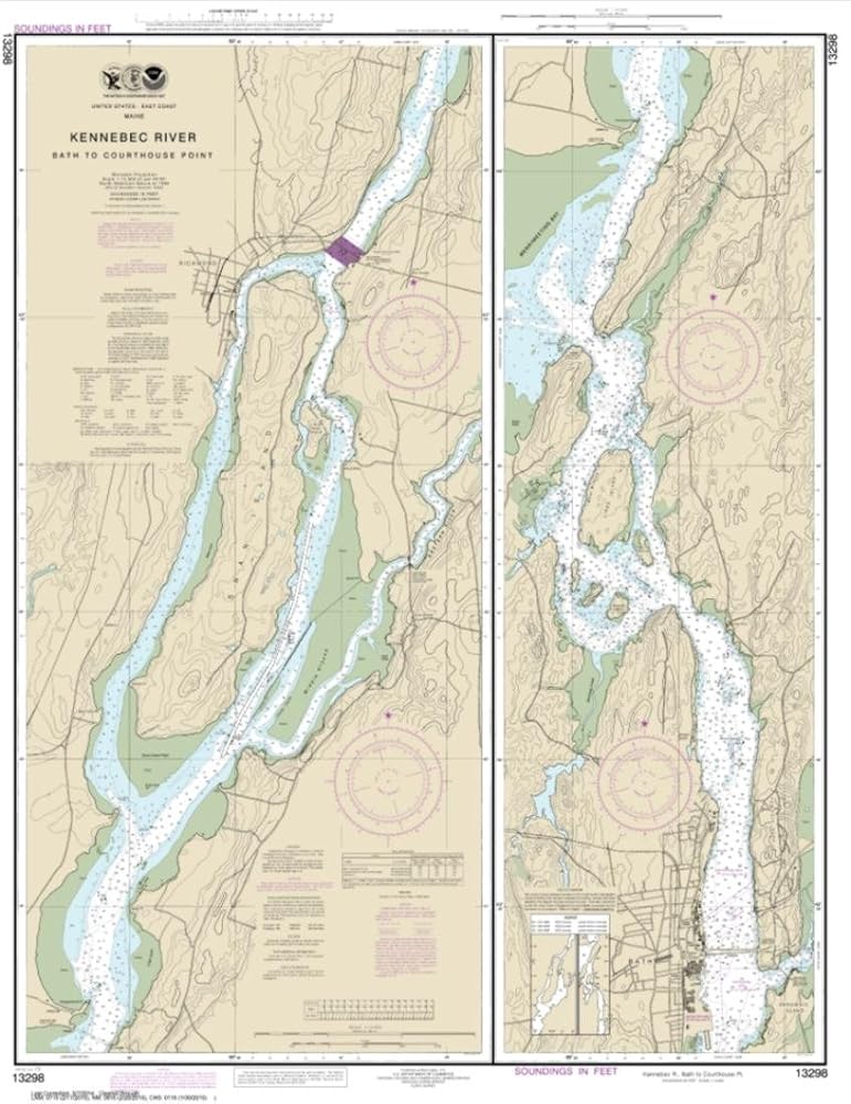
Description
East View Geospatial (EVG), a certified NOAA and NGA print on demand printer; provides mariners with up-to-date National Oceanic and Atmospheric Administration (NOAA) approved nautical charts. Our Kennebec River Bath to Courthouse Point nautical chart (Map Index 13298) is printed on tear- and water-resistant paper. This paper is not fully waterproof, but is more durable than regular paper. All charts are printed with the latest Notice to Mariners (NTMs), and meet United States Coast Guard and international carriage requirements for commercial and recreational vessels. All NOAA nautical charts ship rolled, and are printed by East View Geospatial.