Search

Home / Rand McNally / Classroom Furniture & Education Materials
Rand McNally Easy to Read: Nevada State Map in Saudi Arabia Rand McNally Easy to Read: Nevada State Map in Saudi Arabia Rand McNally Easy to Read: Nevada State Map in Saudi Arabia Rand McNally Easy to Read: Nevada State Map in Saudi Arabia Rand McNally Easy to Read: Nevada State Map in Saudi Arabia Rand McNally Easy to Read: Nevada State Map in Saudi Arabia

Rand McNally Easy to Read: Nevada State Map

SAR 53

1 +

Special Features

  • Regularly updated, full-color maps
  • Clearly labeled Interstate, U.S., state, and county highways
  • Detail maps of major cities, a mileage chart, and a Mileages & Driving Times Map
  • Indications of county boundaries, schools, shopping malls, parks, golf courses, hospitals, airports, and points of interest
  • Easy-to-use legend
  • Detailed index
  • Copyright 2021
  • Coverage Area Detailed maps include: Carson City, Lake Mead National Recreation Area, Lake Tahoe Region, Las Vegas, Las Vegas Strip, Laughlin, Reno

Description

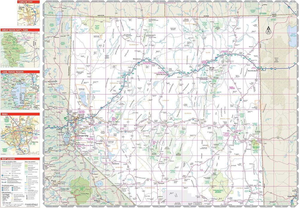
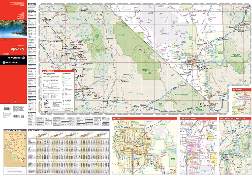
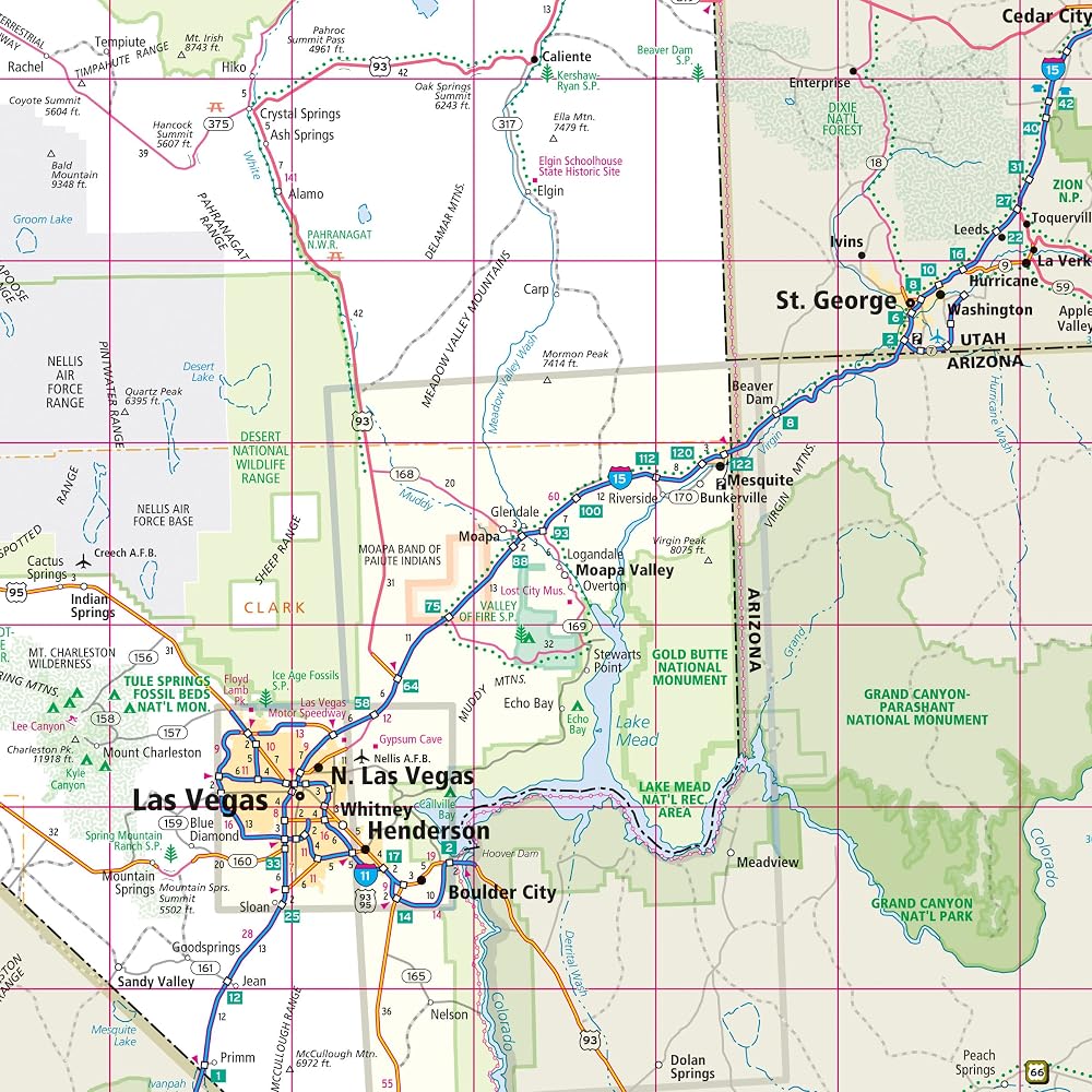
Rand McNally's folded map for Nevada is a must-have for anyone traveling in or through the state, offering unbeatable accuracy and reliability at a great price. Our trusted cartography shows all Interstate, U.S., state, and county highways and much more. - Regularly updated, full-color maps. - Clearly labeled Interstate, U.S., state, and county highways. - Detail maps of major cities, a mileage chart, and a Mileages & Driving Times Map. - Indications of parks, points of interest, airports, county boundaries, and more. - Easy-to-use legend. - Detailed index. - Convenient folded size. Coverage Area Detailed maps include: Carson City, Lake Mead National Recreation Area, Lake Tahoe Region, Las Vegas, Las Vegas Strip, Laughlin, Reno.

Related Items


{"error":"Error","cart_limit":"You have too many items in your cart.","prod_limit":"You cannot add any more of this item"}