- Shopping, made easy.
- /
- Get the app!
Waterproof, tear-resistant topographic hiking map covering all of the hiking trails in the La Garita Wilderness in the San Juan Mountains of central Colorado, including the La Garita Mountains spanning parts of the continental divide in areas of the Gunnison National Forest and Rio Grande National Forest. The front side of the map shows the western part of the wilderness just east of Lake City, CO and the back side of the map shows Creede, CO and the eastern parts of the La Garita Wilderness, such as the 14er San Luis Peak, the Wheeler Geologic Area and more.
 Rawah Wilderness - Colorado Topographic Hiking Map (2018)
SAR 52
Rawah Wilderness - Colorado Topographic Hiking Map (2018)
SAR 52
 Lizard Head - Mount Sneffels Wilderness - Colorado Topographic Hiking Map (2018)
SAR 47
Lizard Head - Mount Sneffels Wilderness - Colorado Topographic Hiking Map (2018)
SAR 47
 Outdoor Trail Maps LLC Eagles Nest Wilderness - Colorado Topographic Hiking Map (2018)
SAR 47
Outdoor Trail Maps LLC Eagles Nest Wilderness - Colorado Topographic Hiking Map (2018)
SAR 47
 -4%
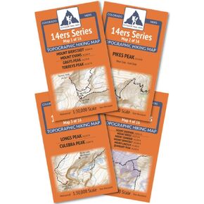
Outdoor Trail Maps Colorado 14ers Series Front-Tenmile-Mosquito Range Map Pack
SAR 110
-4%
Outdoor Trail Maps Colorado 14ers Series Front-Tenmile-Mosquito Range Map Pack
SAR 110


