- Shopping, made easy.
- /
- Get the app!
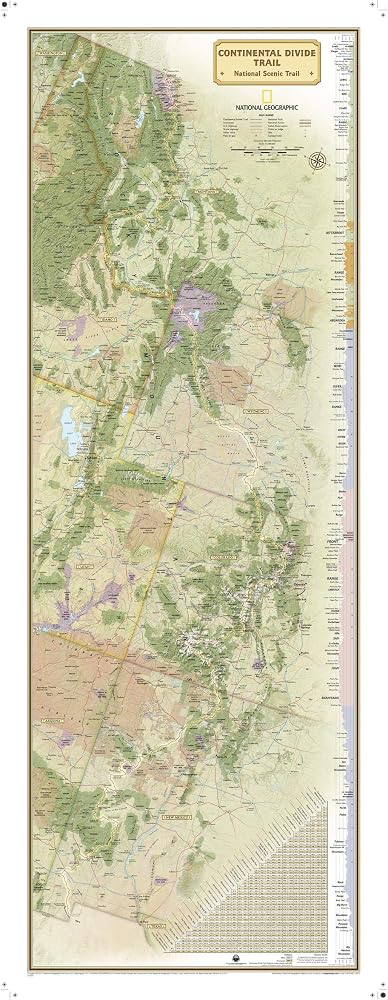
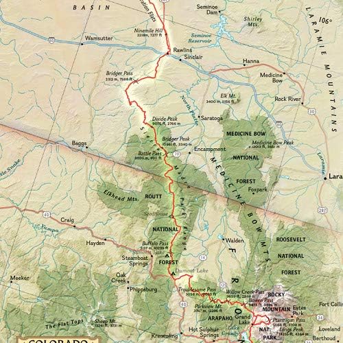
National Geographic's wall map of the Continental Divide trail is an iconic representation of this magnificent national scenic trail, running for over 3,100 miles from Mexico to Canada through New Mexico, Colorado, Wyoming, Idaho, and Montana. This beautiful poster is packed with information on the trail, including the elevation profiles of its peaks and valleys and an informative mileage chart that shows the distance between key locations.
Embellished nameplates of the states through which the trail runs contrast beautifully with the green tones of the land. An informative mileage chart shows the distance between key locations, and highlighted on this map are National Forests, National Park Service lands, State Forests and Parks, passes, and major highways and interstates. Points of interest include lodges and campgrounds near the trail.
This map is drawn in the Transverse Mercator projection, which is a cylindrical map projection for nautical navigation because it represents lines of constant course. Net proceeds from the sale of this map support National Geographic's vital exploration, conservation, research, and education programs.
Perfect for lovers and hikers of this iconic trail, this map makes a great companion to other American trail maps in the "National Scenic Trail" series, such as the Pacific Crest Trail.
Printed on high quality thick paper strong enough for display on your wall.
Your map is rolled and packaged in a sturdy tube to protect it during shipment.
 National Geographic Maps: United States Contemporary Wall Map - Compact - 23.25 x 16 inches
SAR 95
National Geographic Maps: United States Contemporary Wall Map - Compact - 23.25 x 16 inches
SAR 95
 National Geographic Maps: Middle East Wall Map - Compact - 21.5 x 16.25 inches - Front Lamination
SAR 77
National Geographic Maps: Middle East Wall Map - Compact - 21.5 x 16.25 inches - Front Lamination
SAR 77
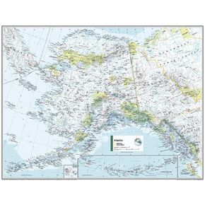 National Geographic Maps: Alaska Wall Map - Compact - 21 x 16 inches - Front Lamination
SAR 140
National Geographic Maps: Alaska Wall Map - Compact - 21 x 16 inches - Front Lamination
SAR 140
 -20%
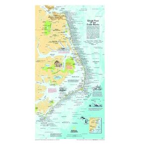
National Geographic: Ghost Fleet of the Outer Banks 1970 Map - Historic Wall Map Series - 11.75 x 21.25 inches - Rolled Canvas
SAR 199
-20%
National Geographic: Ghost Fleet of the Outer Banks 1970 Map - Historic Wall Map Series - 11.75 x 21.25 inches - Rolled Canvas
SAR 199