- Shopping, made easy.
- /
- Get the app!
Product Description
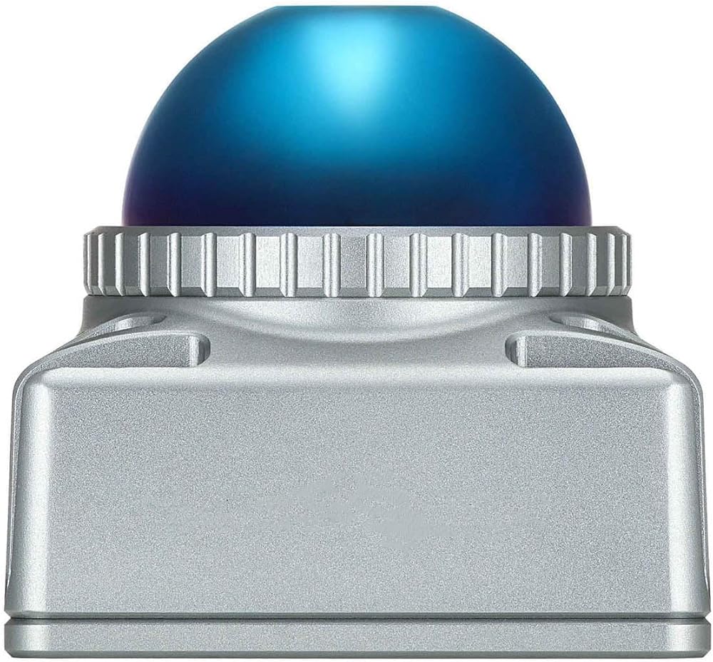
Introducing the Livox Mid-360S high-performance LiDAR, the ideal perception solution crafted for robotic navigation, drone mapping, industrial automation, and research applications.
Core Advantages:
Comprehensive Environmental Perception: Unique non-repetitive scanning technology combined with a 360° horizontal and up to 59° vertical FOV quickly constructs rich 3D environmental models, effectively reducing blind spots.
Accurate and Stable Ranging: Maintains a low false alarm rate of ≤0.01% even under 100klx strong light. Near-range blind zone is only 0.1m, enabling precise detection of close objects.
Rugged and Durable: Fully sealed IP67 design, resistant to dust and water splashes. Its compact size (65x65x60mm) and light weight significantly enhance integration flexibility.
Plug-and-Play: Power (9-27VDC) and Gigabit Ethernet data transmission are handled through a single cable for easy integration. Outputs standard point cloud data, compatible with mainstream Robot Operating System (ROS) and development platforms.
Detailed Technical Specifications:
1. Core Ranging Performance
Range: Under 10% reflectivity, 100klx ambient light conditions, range ≥ 38 meters (standard range acceptance). Near-Range Blind Zone: 0.1 meters.
Ranging System Error: ≤ ±2 cm (@10m distance); ≤ ±3 cm (@0.2m distance). (Test conditions: 25°C, 80% reflectivity target)
Ranging Random Error (1σ): ≤ 2 cm (@10m); ≤ 4 cm (@0.2m). (Test conditions: 25°C, 80% reflectivity target) Angular Error: ≤ 0.15°.
2. Optics & Field of View
Field of View (FOV): Horizontal 360°, Vertical -7° to 52° (typical, max value area at horizontal 0° and 180° directions).
Laser Wavelength: 905 nanometers.
Point Cloud Angular Resolution: Average 1.3° * 1.3° (based on 100ms integrated point cloud). Vertical angular
resolution range: 0.5° ~ 5°; Horizontal angular resolution: 1.3°.
False Alarm Rate: Under 100klx daylight, 25°C conditions, ≤ 0.01%.
3. Data Output
Data Rate: 200,000 points/second.
Point Cloud Frame Rate: 10 Hz (typical).
Data Synchronization Methods: Supports IEEE 1588-2008 (PTP v2) and GPS (PPS+UTC) time synchronization.
4. Physical & Environmental Characteristics
Dimensions: 65mm (L) × 65mm (W) × 60mm (H), excluding protruding part of the aviation connector.
Weight: Approx. 265g (excluding cable).
Operating Temperature: -20°C to 55°C. (Note: Ensure housing temperature does not exceed 80°C under high-temperature conditions)
Storage Temperature: -40°C to 85°C.
Protection Rating: IP67 (can withstand temporary immersion, 1m depth for 30 minutes).
5. Electrical & Interface
Power Supply Voltage: 9 ~ 27 VDC.
Typical Power Consumption: 6.5W (ambient temperature 25°C). During low-temperature startup, auto-heating mode power consumption can reach up to 14W for no less than 3 minutes.
Built-in IMU: Model ICM40609.
Interface Type: M12 A-Code 12-pin aviation connector (male).
Interface Functions: Integrated power (Pin 1, 2, 3, 9), Gigabit Ethernet (Pin 4, 5, 6, 7), PPS pulse per second input (Pin 8), GPS input (Pin 10), and reserved IOs (Pin 11, 12).
Heat Dissipation: No built-in fan, must be installed on a metal plate with good thermal conductivity for heat dissipation
. 6. Installation & Mechanical
Mounting Holes: 4 fixed screw holes on the bottom, compatible with M3 screws, depth 5mm.
Installation Recommendation: Reserve at least 10mm of space around the unit to ensure air circulation. Avoid obstructing the FOV.
7. Cable & Accessories (Note: Optional Accessories)
Standard Power & Ethernet Cable: Length 1.5m, includes M12 aviation connector (female), RJ45 Ethernet port, function cable (for PPS/GPS sync) and power cable.
 -4%
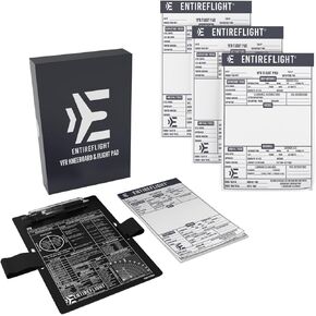
VFR NotePads, Pilot Kneeboard Box Set for Pilots Bundle - Aviation Gear, Premium Aviation Flight Pad, Pilot Kneeboard Accessories for Pilots
SAR 297
-4%
VFR NotePads, Pilot Kneeboard Box Set for Pilots Bundle - Aviation Gear, Premium Aviation Flight Pad, Pilot Kneeboard Accessories for Pilots
SAR 297
 1200 Watt Pure Sine Wave Power Inverter 12V DC to 110V AC Off-Grid Power Inverter with Built-in QC3.0 USB-A/USB-C Ports, Remote Switch Connection Ports and LCD Display, 3 AC Output for Home, RV
SAR 365
1200 Watt Pure Sine Wave Power Inverter 12V DC to 110V AC Off-Grid Power Inverter with Built-in QC3.0 USB-A/USB-C Ports, Remote Switch Connection Ports and LCD Display, 3 AC Output for Home, RV
SAR 365
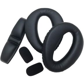 Lightspeed Aviation Zulu 3 Refresher Kit - Pilot Headset Padding Replacement - Performance Ear Seals/ PFX Head Pad & 2 PFX Wind Screens - Made In USA
SAR 337
Lightspeed Aviation Zulu 3 Refresher Kit - Pilot Headset Padding Replacement - Performance Ear Seals/ PFX Head Pad & 2 PFX Wind Screens - Made In USA
SAR 337
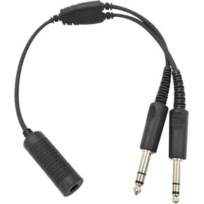 WODASEN General Aviation Headset Dual GA Plugs to Helicopter U174/U Adapter Twin PJ-068 PJ-055 Fixed-Wing Aircraft Headphones to TP-120 U-174 7.0 mm Civilian Plug Cable Pilot Extension Cord Converter
SAR 136
WODASEN General Aviation Headset Dual GA Plugs to Helicopter U174/U Adapter Twin PJ-068 PJ-055 Fixed-Wing Aircraft Headphones to TP-120 U-174 7.0 mm Civilian Plug Cable Pilot Extension Cord Converter
SAR 136