- Shopping, made easy.
- /
- Get the app!
Product Description
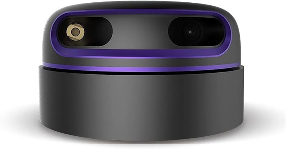
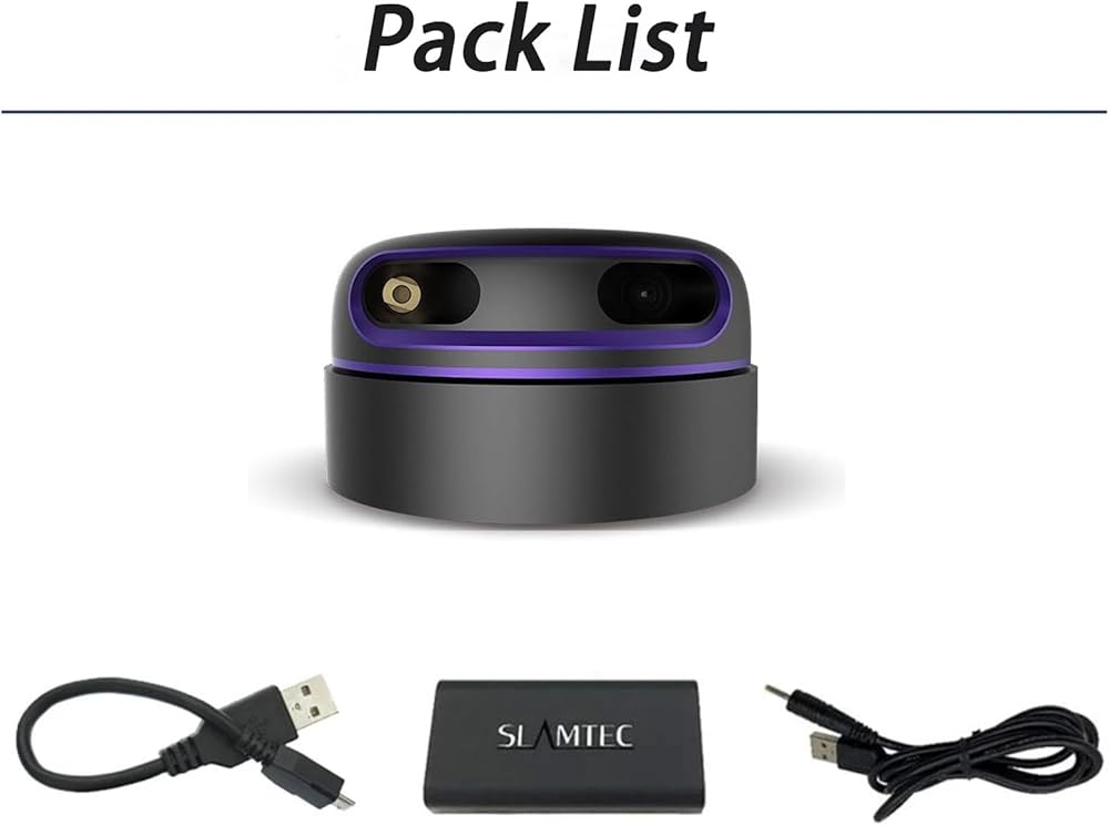
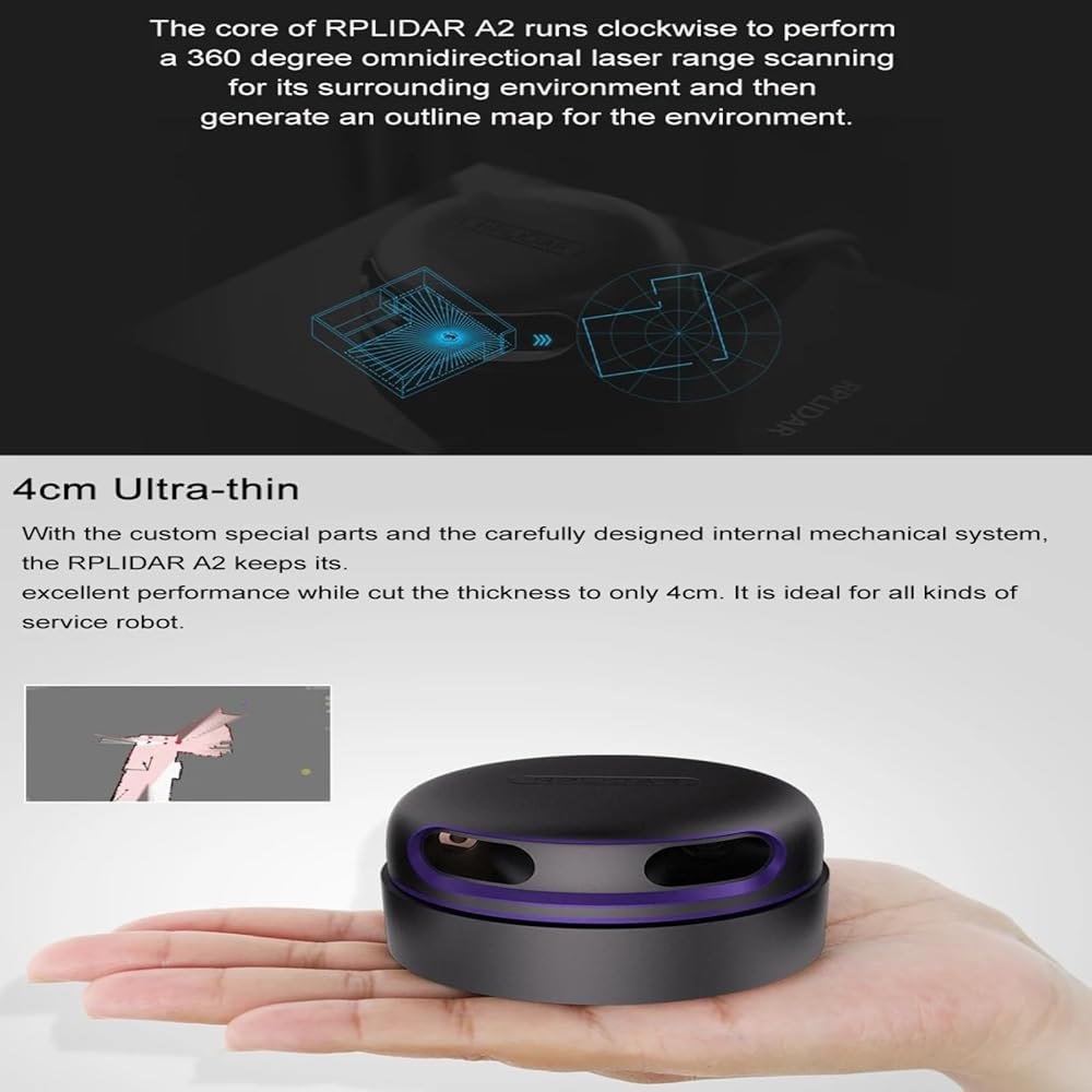
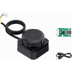
The SLAMTEC RPLIDAR A2M12 is a revolutionary low-cost 360-degree 2D laser scanner (LIDAR) developed by SLAMTEC. It uses high-speed rotating core and laser triangulation ranging principles to generate high-precision point cloud data in real-time, helping users quickly build environment maps and achieve accurate positioning. The product features a modular design, with the core component separated from the mechanical drive, ensuring long-term stable operation.
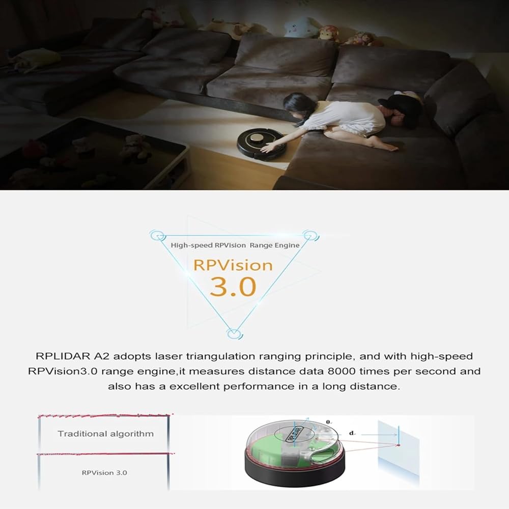
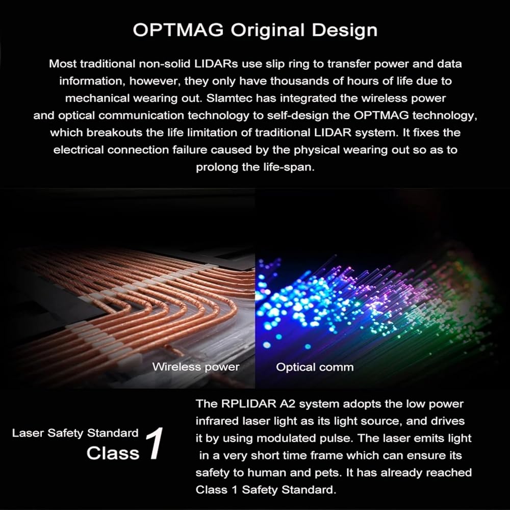
The system consists of a ranging core and a rotating mechanism. The start, stop, and speed of the motor are controlled via PWM signals, and output data includes distance, angle, and scan flags. Each sample point data is checksum-verified to ensure integrity. Scanning data is defined in a left-handed coordinate system, with the front as the X-axis and angles increasing clockwise, making it easy to integrate into various navigation systems.
Technical Specifications
Scanning Range:12 meters for white objects, 10 meters for black objects, minimum ranging distance 0.2 meters
Sampling Rate:16 kHz
Scanning Frequency:Typical 10Hz (adjustable 5-15Hz)
Angular Resolution:0.225°
Laser Wavelength:785nm (infrared band)
Laser Power:Peak 10mW, average power lower
Communication Interface:TTL UART, 256000 bps, 8N1 mode
Power Requirements:5V DC, typical operating current 450mA, maximum inrush current 2500mA
Weight:190g
Operating Temperature:0°C to 40°C
Application Scenarios
Robot Navigation and Localization: Provides real-time environment perception for service and industrial robots.
Environmental Scanning and 3D Modeling: Quickly generates 2D point cloud data for architectural surveying and virtual reality.
Smart Home and Cleaning Robots: Achieves precise obstacle avoidance and path planning.
Education and Research: Ideal for SLAM algorithm development and experiments.
Interactive Projection:Ideal for floor interactive projection and wall interactive projection
 Livox Avia High-Performance LiDAR Sensor Lase Radar 3D Mapping & Robotics Navigation Drone Surveying
SAR 8,819
Livox Avia High-Performance LiDAR Sensor Lase Radar 3D Mapping & Robotics Navigation Drone Surveying
SAR 8,819
 Livox Mid 360 3D LiDAR Sensor Lase Radar for Robot UAV Navigation Mapping (with Connector)
SAR 4,183
Livox Mid 360 3D LiDAR Sensor Lase Radar for Robot UAV Navigation Mapping (with Connector)
SAR 4,183
 SLAMTEC RPLIDAR C1M1 360 Degree Laser Radar Lidar Sensor, 12m Range, 5000 Samples/Sec, for Robot Navigation, SLAM, Obstacle Avoidance (5V, UART Interface)
SAR 360
SLAMTEC RPLIDAR C1M1 360 Degree Laser Radar Lidar Sensor, 12m Range, 5000 Samples/Sec, for Robot Navigation, SLAM, Obstacle Avoidance (5V, UART Interface)
SAR 360
 Unitree L2 4D LiDAR Lidar Sensor Laser Radar 360° Hemisphere Scanning, 64,000 Points/S for Robotics & 3D Mapping
SAR 2,017
Unitree L2 4D LiDAR Lidar Sensor Laser Radar 360° Hemisphere Scanning, 64,000 Points/S for Robotics & 3D Mapping
SAR 2,017