- Shopping, made easy.
- /
- Get the app!
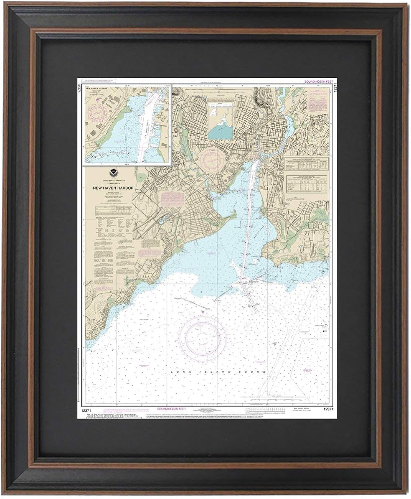
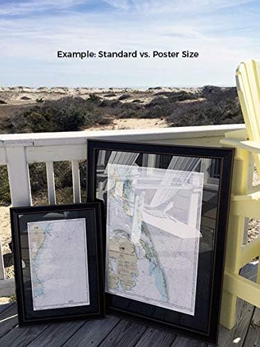
North Shore of Long Island Sound; New Haven Harbor NOAA 12370. This Framed Nautical Map covers the waters and coast line of the North Shore of Long Island Sound; New Haven Harbor. The Framed Nautical Chart is the official NOAA Nautical Chart detailing the waters of the beautiful Long Island Sound; including New Haven, West Haven, Fair Haven, and Morris Cove. NOAA Nautical Chart 12370. Standard frame is approx 18" W x 24" H. Poster frame is approx 28" W x 36" H. Solid Hardwood Frame, Glass Front, Black Mat, Paper Duster Backing with Wire Hanging, Handmade in USA.
 Carson Dellosa Motivational Decorative File Folders—11.75" x 9.5" Gold Stars, Black File Folders for Filing Cabinet, Office or Classroom File Organization (6-Pack)
SAR 30
Carson Dellosa Motivational Decorative File Folders—11.75" x 9.5" Gold Stars, Black File Folders for Filing Cabinet, Office or Classroom File Organization (6-Pack)
SAR 30
 XXDingbs 2 Pieces Women's 24 Inches Long Velvet Gloves With Pearl Accessories for Wedding Opera Dinner Party 1920s Gloves
SAR 71
XXDingbs 2 Pieces Women's 24 Inches Long Velvet Gloves With Pearl Accessories for Wedding Opera Dinner Party 1920s Gloves
SAR 71
 Small Quilted Crossbody Bags for Women Shoulder Bag Clutch Purses Handbags with Gold Chain
SAR 126
Small Quilted Crossbody Bags for Women Shoulder Bag Clutch Purses Handbags with Gold Chain
SAR 126
 Snarky Cross-Stitch Kit
SAR 94
Snarky Cross-Stitch Kit
SAR 94