- Shopping, made easy.
- /
- Get the app!
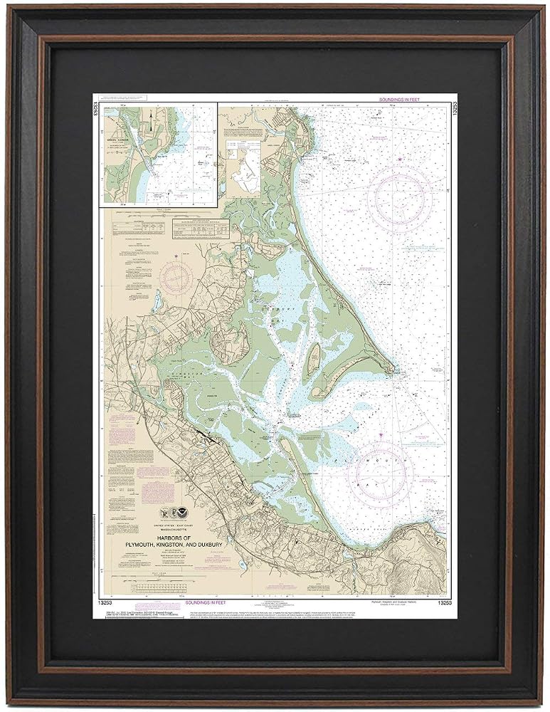
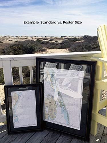
Harbors of Plymouth, Kingston, and Duxbury, MA NOAA 13253. This Framed Nautical Map covers the waters of Harbors of Plymouth, Kingston, and Duxbury. The Framed Nautical Chart is the official NOAA Nautical Chart detailing the beautiful waters and coastline of Harbors of Plymouth, Kingston, and Duxbury; including Plymouth Rock, Plymouth Bay, Plymouth Harbor, Kingston Bay and other towns and harbors. NOAA Nautical Chart 13253. Standard frame is approx 17" W x 24" H. Poster frame is approx 27" W x 36" H. Solid Hardwood Frame, Glass Front, Black Mat, Paper Duster Backing with Wire Hanging, Handmade in USA
 Hanreshe Peace Sign Necklace Pendant 1960s 1970s Gold Peace Sign Necklace Hippie Party Accessories Jewelry for Women Gift
SAR 47
Hanreshe Peace Sign Necklace Pendant 1960s 1970s Gold Peace Sign Necklace Hippie Party Accessories Jewelry for Women Gift
SAR 47
![[Required Reference for high School Students]실력 수학의 정석 수학1-2021년용/the Standard of Mathematics-Advanced Mathematics 1/Shipping from Korea in Saudi Arabia](https://cdn1.tilga.com/md/prod/3/498/3/74284598.61786.jpg) [Required Reference for high School Students]실력 수학의 정석 수학1-2021년용/the Standard of Mathematics-Advanced Mathematics 1/Shipping from Korea
SAR 210
[Required Reference for high School Students]실력 수학의 정석 수학1-2021년용/the Standard of Mathematics-Advanced Mathematics 1/Shipping from Korea
SAR 210
 Eat. Knit. Sleep. All-In-One Project Planner Notebook Journal to Track Your Design Patterns and Knit Instructions: Large Size 8.5 x 11 for Easy Writing/Reading and Graph Paper for Design Drawing.
SAR 58
Eat. Knit. Sleep. All-In-One Project Planner Notebook Journal to Track Your Design Patterns and Knit Instructions: Large Size 8.5 x 11 for Easy Writing/Reading and Graph Paper for Design Drawing.
SAR 58
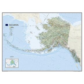 National Geographic Alaska Wall Map - Laminated (40.5 x 30.25 in) (National Geographic Reference Map)
SAR 261
National Geographic Alaska Wall Map - Laminated (40.5 x 30.25 in) (National Geographic Reference Map)
SAR 261