- Shopping, made easy.
- /
- Get the app!
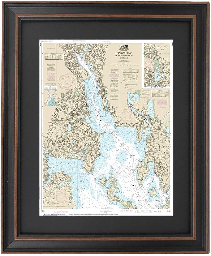
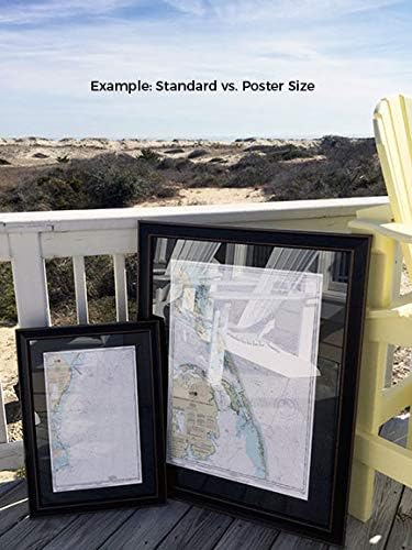
Providence River (Head of Narragansett Bay) 13224. This Framed Nautical Map covers the waters and coast line of Providence River (Head of Narragansett Bay) including the Seekonk River from Cold Spring Point to Pawtucket. The Framed Nautical Chart is the official NOAA Nautical Chart detailing the beautiful waters of the Providence River and Head of Narragansett Bay; including Greenwich Bay, Prudence island, Providence, East Providence, and other towns and harbors..Product Details: NOAA Nautical Chart 13224. Standard Frame is 17" H. x 24" W. Poster frame is 25 3/4‚ H x 36" W. Solid Hardwood Frame, Glass Front, Black Matte, Paper Duster Backing with Wire Hanging, Handmade in USA
![[ comfort zone ] Sublime Skin Neck & Decollete Fluid, Neck & Chest Firming Cream, Lightweight & Fast Absorbing, Ideal For Mature And Dry Skin, 2.02 Fl. Oz. in Saudi Arabia](https://cdn1.tilga.com/md/prod/1/674/3/28078239.14503.jpg) [ comfort zone ] Sublime Skin Neck & Decollete Fluid, Neck & Chest Firming Cream, Lightweight & Fast Absorbing, Ideal For Mature And Dry Skin, 2.02 Fl. Oz.
SAR 511
[ comfort zone ] Sublime Skin Neck & Decollete Fluid, Neck & Chest Firming Cream, Lightweight & Fast Absorbing, Ideal For Mature And Dry Skin, 2.02 Fl. Oz.
SAR 511
 FROGG TOGGS Chilly Pad Cooling Towels, 2 Pack, 33" x 13"
SAR 105
FROGG TOGGS Chilly Pad Cooling Towels, 2 Pack, 33" x 13"
SAR 105
 Babo Botanicals Eucalyptus Remedy Soothing Chest Rub - USDA Organic - Calming relief with eucalyptus, lavender & rosemary essential oils - Made without Camphor or Petroleum - For ages 3+
SAR 73
Babo Botanicals Eucalyptus Remedy Soothing Chest Rub - USDA Organic - Calming relief with eucalyptus, lavender & rosemary essential oils - Made without Camphor or Petroleum - For ages 3+
SAR 73
 King of Glory
SAR 112
King of Glory
SAR 112