- Shopping, made easy.
- /
- Get the app!
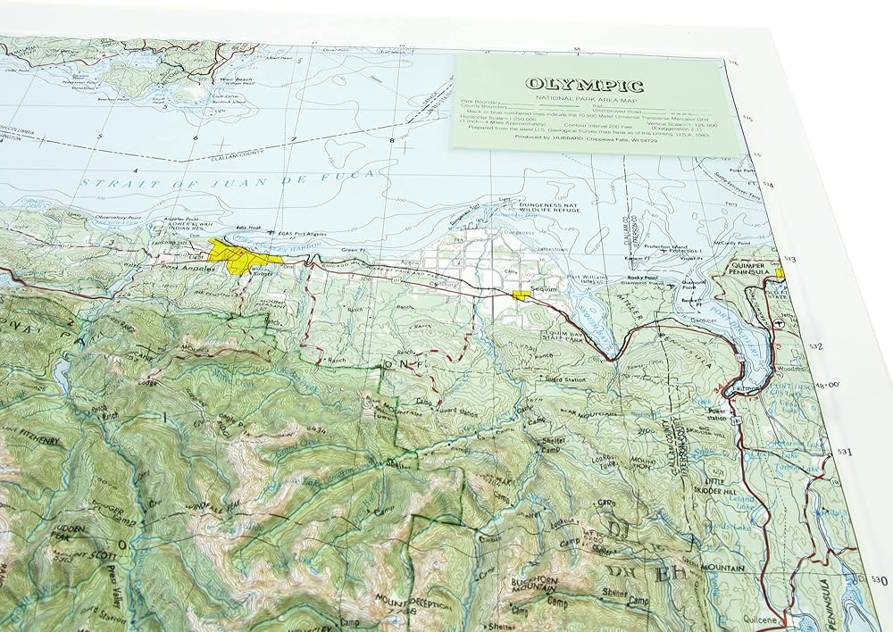
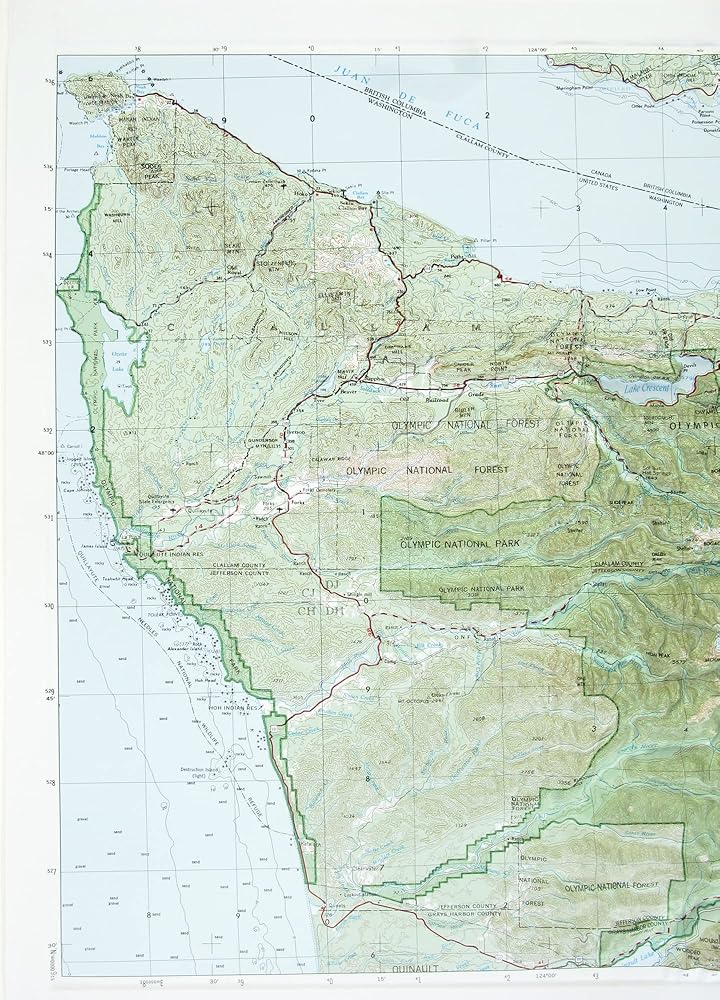
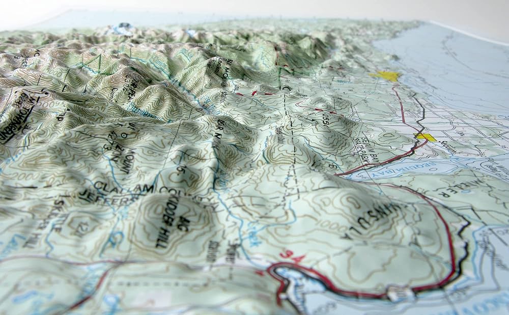
Elevate your map-game with a raised relief map. These unique interactive maps turn geographic data into 3-D topography you can actually feel. The Map Shop takes high quality maps printed on durable rigid vinyl and vacuum forms them onto a one-of-a-kind mold -creating a Raised Relief map. These tactile maps are educational, aesthetic, and a joy to touch. These maps depict changes in elevation and terrain by raising up and sinking down mirroring real world topography. Cartography by Hubbard Scientific, this raised relief map has been hand crafted by a family owned business based in Charlotte, NC.
 3D Charlottesville VA Regional Raised Relief Map | Topographic Wall Map | 31" x 20.5" | Blue Ridge & Shenandoah Terrain | Vacuum-Formed | Hubbard Scientific
SAR 470
3D Charlottesville VA Regional Raised Relief Map | Topographic Wall Map | 31" x 20.5" | Blue Ridge & Shenandoah Terrain | Vacuum-Formed | Hubbard Scientific
SAR 470
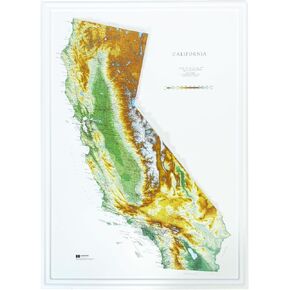 Hubbard Scientific 3D California Map | A True Raised Relief Map - You Can Feel the Terrain | Vacuum-formed Molded | 25" x 35" | Detailed Topography
SAR 522
Hubbard Scientific 3D California Map | A True Raised Relief Map - You Can Feel the Terrain | Vacuum-formed Molded | 25" x 35" | Detailed Topography
SAR 522
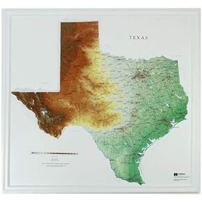 Hubbard Scientific 3D Texas Map | A True Raised Relief Map - You Can Feel the Terrain | Vacuum-formed Molded | 28″ x 25″ | Detailed Topography
SAR 522
Hubbard Scientific 3D Texas Map | A True Raised Relief Map - You Can Feel the Terrain | Vacuum-formed Molded | 28″ x 25″ | Detailed Topography
SAR 522
 Hubbard Scientific 3D Tennessee Map | A True Raised Relief Map - You Can Feel the Terrain | Vacuum-formed Molded | 37″ x 19″ | Detailed Topography
SAR 470
Hubbard Scientific 3D Tennessee Map | A True Raised Relief Map - You Can Feel the Terrain | Vacuum-formed Molded | 37″ x 19″ | Detailed Topography
SAR 470