- Shopping, made easy.
- /
- Get the app!
![Garmin Navionics+ NSSA004L - Mexico, the Caribbean to Brazil - Inland Coastal Marine Chart [010-C1285-20] in Saudi Arabia](https://cdn1.tilga.com/md/prod/3/10131/224713983.49411.jpg)
Experience the world's top marine mapping with the latest Navionics+ cartography on your compatible chartplotter. The Navionics+ NSSA004L - Mexico, the Caribbean to Brazil - Inland & Coastal Marine Chart offers vibrant colors, a sleek interface, and combined coastal/inland content.
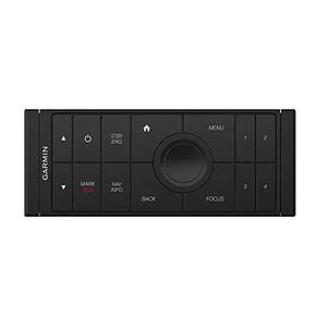 Garmin 0100201101 Grid 20 Remote, Black, Small
SAR 1,168
Garmin 0100201101 Grid 20 Remote, Black, Small
SAR 1,168
 -6%
Fusion MS-RA60 Marine Stereo, A Garmin Brand
SAR 1,096
-6%
Fusion MS-RA60 Marine Stereo, A Garmin Brand
SAR 1,096
 Garmin ECHOMAP Ultra 122sv, Sunlight-readable 12-inch Touchscreen Chartplotter/Sonar Combo with Worldwide Basemap
SAR 11,912
Garmin ECHOMAP Ultra 122sv, Sunlight-readable 12-inch Touchscreen Chartplotter/Sonar Combo with Worldwide Basemap
SAR 11,912
 Garmin Fusion® Apollo™ MS-RA670 Marine Stereo, With DSP, A Garmin Brand
SAR 2,419
Garmin Fusion® Apollo™ MS-RA670 Marine Stereo, With DSP, A Garmin Brand
SAR 2,419