- Shopping, made easy.
- /
- Get the app!
20.75 x 18.5 inches. Laminated. Flat map, tubed for shipping.
This colorful, easy-to-read state map of Connecticut identifies all major thoroughfares, secondary roads, freeway interchanges, rest areas, distance markers, landmarks, recreational areas, and more. Shaded relief on the state map provides a three-dimensional sense of Connecticut's topography. Detailed city inset maps of Hartford, New Haven-Bridgeport, New London, Stamford, and Waterbury are based on the latest street information from our cartographic experts. County and city indices make it simple to locate even the smallest town.
Created by Globe Turner, one of the leading producers of map products in the USA.
 HISTORIX 2021 North America Map - 18x24 Inch Map of North America Wall Art - Mapa de America - North America Wall Map - Map of North America Poster
SAR 209
HISTORIX 2021 North America Map - 18x24 Inch Map of North America Wall Art - Mapa de America - North America Wall Map - Map of North America Poster
SAR 209
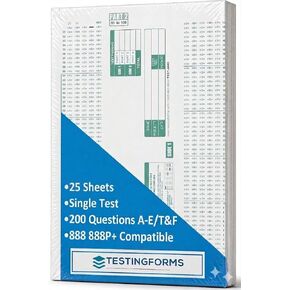 TEST-100E 882 E Compatible Testing Forms (50 Sheet Pack)
SAR 48
TEST-100E 882 E Compatible Testing Forms (50 Sheet Pack)
SAR 48
 200 Christian Question Cards for Inspirational Conversations - Explore Your Faith and Have Fun on Family Game Night, Bible Study or Youth Groups - Perfect Couples Religious Gifts for Women or Men
SAR 157
200 Christian Question Cards for Inspirational Conversations - Explore Your Faith and Have Fun on Family Game Night, Bible Study or Youth Groups - Perfect Couples Religious Gifts for Women or Men
SAR 157
 -35%
Learning Resources View-Thru Geometric Solids - Geometric Shapes, Back to School Supplies Must Haves, Math Teacher Supplies
SAR 68
-35%
Learning Resources View-Thru Geometric Solids - Geometric Shapes, Back to School Supplies Must Haves, Math Teacher Supplies
SAR 68

