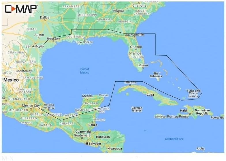
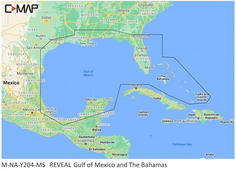
Shaded Relief, Bring The World Around You To Life, With 3D Rendered Land And Underwater Elevation-Including Areas Of Ultra-High-Res Bathy Seafloor Imagery
High-Res Bathy, Helps You Identify Shallow Areas, Drop-Offs, Ledges, Holes Or Humps; Now Includes Compiled And Quality-Controlled Genesis Detail As Part Of Singular HRB Layer
Full Featured Vector Charts, Making Navigation Easy By Giving You Accurate, Up-To-Date Vector Chart Detail Derive From Official Hydrographic Office Information
Low Maintenance Design – Requires minimal upkeep, saving time and effort during the boating season.
Secure Fit and Compatibility – Precisely manufactured for easy installation on most boats and watercraft.


 Parts Synergy Replacment for Evaporative Canister Purge Solenoid Repair Kit for Ford Escape 2018-13
SAR 292
Parts Synergy Replacment for Evaporative Canister Purge Solenoid Repair Kit for Ford Escape 2018-13
SAR 292
 Part Synergy Replacement for Aluminized Steel Exhaust Muffler Assembly for Chevy Equinox 2010-2017 Direct Fits OE
SAR 487
Part Synergy Replacement for Aluminized Steel Exhaust Muffler Assembly for Chevy Equinox 2010-2017 Direct Fits OE
SAR 487
 Part Synergy Replacement for Cetane Power Booster - Diesel Fuel Supplement -Lubricant - 16 oz Bottle - Diesel - Set of 12 Direct Fit
SAR 245
Part Synergy Replacement for Cetane Power Booster - Diesel Fuel Supplement -Lubricant - 16 oz Bottle - Diesel - Set of 12 Direct Fit
SAR 245
 New OEM Replacement Wheel for 2005-2024 Nissan Frontier 16x7 inch Steel Rim Painted Black Fit 205/55R16
SAR 564
New OEM Replacement Wheel for 2005-2024 Nissan Frontier 16x7 inch Steel Rim Painted Black Fit 205/55R16
SAR 564